

A new study led by the University of Bristol talks about a pioneering technique that captures precisely how mountains bend to the will of raindrops. The dramatic effect rainfall has on the evolution of mountainous landscapes is a hot topic of discussion among geologists, but the new research calculates its impact, furthering our understanding of how peaks and valleys have developed over millions of years.
The findings of the research published in Science Advances focused on the Himalayan mountain range, and also paved the way for forecasting the possible impact of climate change on landscapes and, in turn, human life.
Lead author Dr Byron Adams, Royal Society Dorothy Hodgkin Fellow at the university’s Cabot Institute for the Environment, said: “It may seem intuitive that more rain can shape mountains by making rivers cut down into rocks faster. But scientists have also believed rain can erode a landscape quickly enough to essentially ‘suck’ the rocks out of the Earth, effectively pulling mountains up very quickly.
Both these theories have been debated for decades because the measurements required to prove them are so painstakingly complicated. That’s what makes this discovery such an exciting breakthrough, as it strongly supports the notion that atmospheric and solid earth processes are intimately connected.”
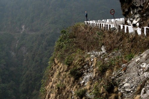
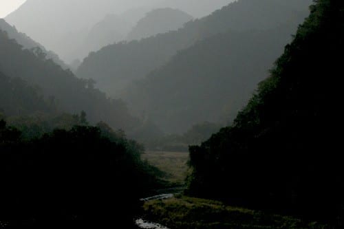
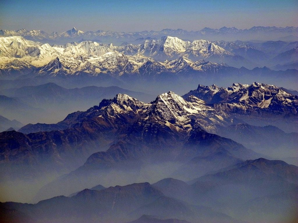
The study was based in the central and eastern Himalayas of Bhutan and Nepal, as this region of the world has become one of the most sampled landscapes for erosion rate studies. Dr Adams, along with research collaborators from Arizona State University (ASU) and Louisiana State University, used cosmic clocks within sand grains to measure the speed at which rivers erode the rocks beneath them.
Dr Adams said, “When a cosmic particle from outer space reaches Earth, it is likely to hit sand grains on hillslopes as they are transported toward rivers. When this happens, some atoms within each grain of sand can transform into a rare element. By counting how many atoms of this element are present in a bag of sand, we can calculate how long the sand has been there, and therefore how quickly the landscape has been eroding.”
“Once we have erosion rates from all over the mountain range, we can compare them with variations in river steepness and rainfall. However, such a comparison is hugely problematic because each data point is very difficult to produce and the statistical interpretation of all the data together is complicated”, he further added.
Dr Adams and his team addressed this challenge by combining regression techniques with numerical models of how rivers erode. “We tested a wide variety of numerical models to reproduce the observed erosion rate pattern across Bhutan and Nepal. Ultimately only one model was able to accurately predict the measured erosion rates,” Dr Adams said. “This model allows us for the first time to quantify how rainfall affects erosion rates in rugged terrain.”
Research collaborator Professor Kelin Whipple, Professor of Geology at ASU, said: “Our findings show how critical it is to account for rainfall when assessing patterns of tectonic activity using topography, and also provide an essential step forward in addressing how much the slip rate on tectonic faults may be controlled by climate-driven erosion at the surface.”
The findings of the study carry important implications for land use management, infrastructure maintenance, and hazards in the Himalayas.
In the Himalayan region, there is the risk that high erosion rates can drastically increase sedimentation behind dams, jeopardising critical hydropower projects. The research findings also suggest that greater rainfall can undermine hillslopes, thereby increasing the risk of debris flows or landslides, some of which may be large enough to dam the river creating a new hazard – lake outburst floods.
Dr Adams said, “Our data and analysis provides an effective tool for estimating patterns of erosion in mountainous landscapes such as the Himalaya, and thus, can provide invaluable insight into the hazards that influence the hundreds of millions of people who live within and at the foot of these mountains.”
The Royal Society, the UK Natural Environmental Research Council (NERC), and the National Science Foundation (NSF) of the United States funded this research.
Dr Adams further added, “This new frontier of landscape evolution modelling is also shedding new light on volcanic processes. With our cutting-edge techniques to measure erosion rates and rock properties, we will be able to better understand how rivers and volcanoes have influenced each other in the past. This will help us to more accurately anticipate what is likely to happen after future volcanic eruptions and how to manage the consequences for communities living nearby.”
Further Reading: